www.McMurray.info |
||||||||||||||||||||||||||||||||||||
Drumlough, County Down, Ireland
|
||||||||||||||||||||||||||||||||||||
| When Edward McMurray and his family emigrated to the United States, some of the family listed Drumlough in County Down as their place of origin; that is also indicated in Sarah Patterson McCormick's family history. (Note: Sarah is my 1st Cousin, Twice Removed.) The information below
describes two townlands named Drumlough in County Down. Also see the Meanings of Irish Place Names web page. |
|||||||
| From Dave
Macaulay (inprintco@earthlink.net): "There are actually two townlands in County Down called 'Drumlough'. As you probably know, it's not uncommon to have two or even more townlands with the same name in Ireland, even within the same county." |
|||||||
|
|||||||
|
McMurray family records mention attending the Presbyterian Church in Drumlough, Ireland, and only one of the Drumloughs (near Dromore) has a Presbyterian Church. The church is still in use, and is located at Lat/Lon 54.422173 / -6.048311. (https://binged.it/2rUr2eB.) Both family and public records also indicate marriages and deaths taking place in Dromore, Killichny, and Tullynakill, all of which indicate the northern Drumlough near Dromore as the location where members of our McMurray clan were residing prior to their emigration during the Great Famine. |
|||||||
| Here are some detailed maps from www.multimap.com in the UK: | |||||||
Dromore - Map 1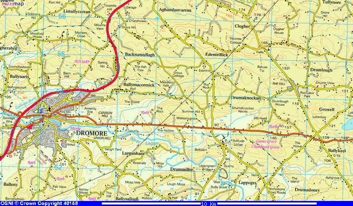 Drumlough is on the middle right. |
Dromore - Map 2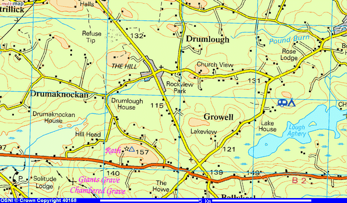 Zoomed in on Drumlough. |
Rathfriland - Map 1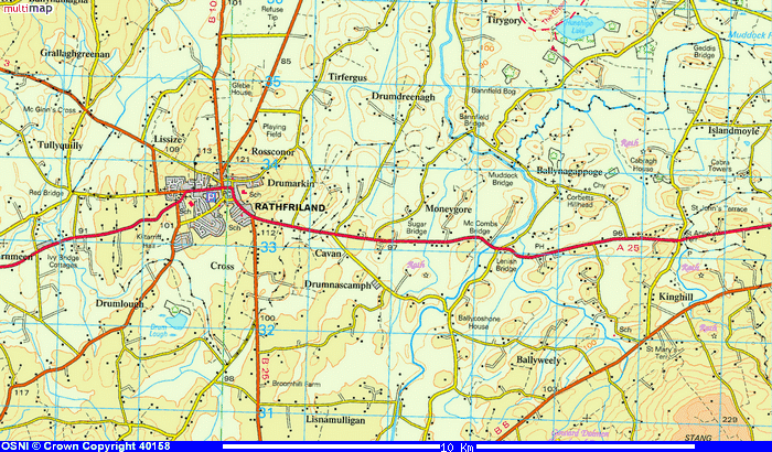 Drumlough is on the lower left. |
Rathfriland - Map 2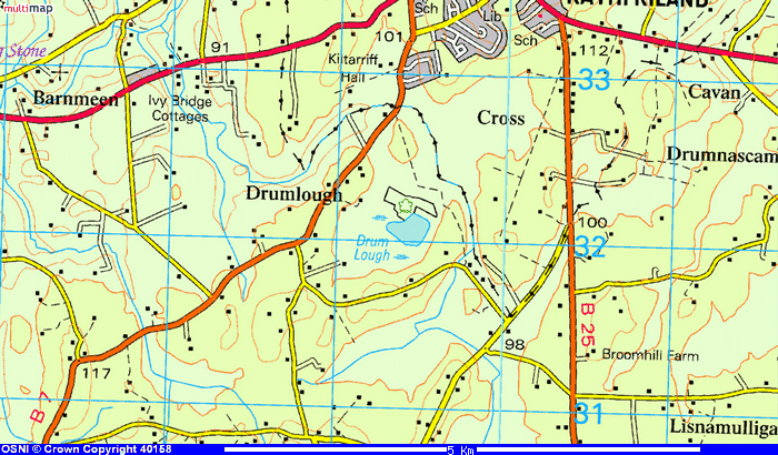 Zoomed in on Drumlough. |
||||
| Here are some generic maps from www.expedia.com: | |||||||
Dromore - Map 1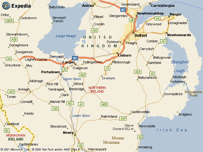 |
Dromore - Map 2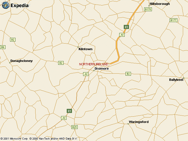 |
Rathfriland - Map 1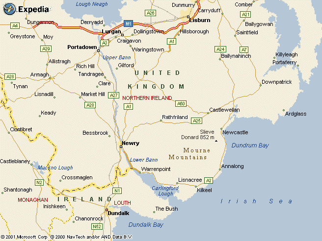 |
Rathfriland - Map 2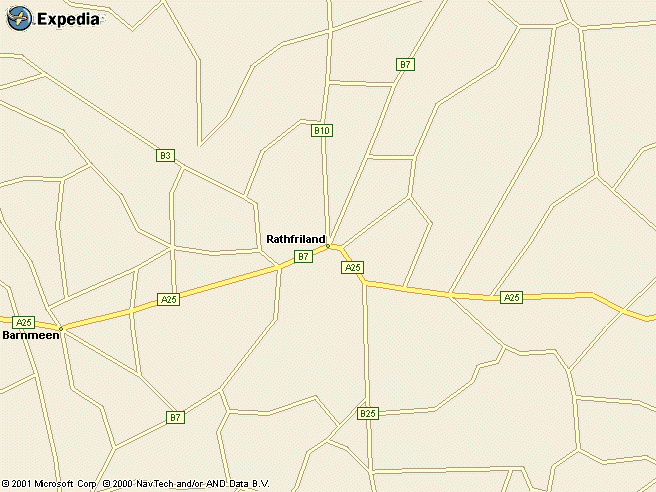 |
||||
©Copyright 2006-2022, the McMurray Family